Idea
Financial institutions are facing increasing more demanding regulations on ESG with green mortgages on the horizon. In the future, the estimation of real estate value for the purpose of insurance or collateral will not be enough – it will have to include the environmental risks. By including individual real estate-specific data about environmental changes based on satellite data we will track the value of the real estate over time and estimate the impact of the changing environment on the real estate value.
EU Space Technologies
With the use of Sentinel HUB and Copernicus data, we will be able to estimate the changes in the environment for individual real estate and areas. We will be using:
- Sentinel-2 L2A
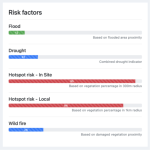
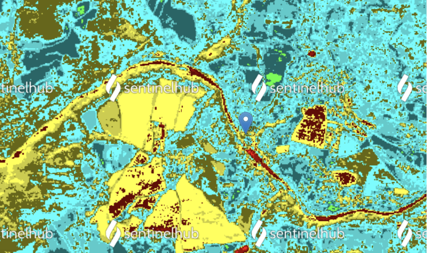
- Normalized Difference Moisture Index (NDMI)
- The normalized difference moisture Index (NDMI) is used to determine vegetation water content and monitor droughts. We analyze historical snapshots to determine areas prone to drought.
- Normalized Difference Moisture Index (NDMI)
- Sentinel-3 SLSTR
- Land Surface Temperature (LST)
- A simplified definition would be how hot the “surface” of the Earth would feel to the touch in a particular location. From a satellite’s point of view, the “surface” is whatever it sees when it looks through the atmosphere to the ground. We’ll use historical analysis of relative difference in temperature to identify hot-spot locations prone to higher temperature shock.
- Fire Radiative Power (FRP)
- Fire Radiative Power (FRP) is defined as the rate at which the actively burning fire is emitting radiative energy. With historical analysis we’ll identify areas prone to frequent occurrence of fires.
- Land Surface Temperature (LST)
- Copernicus Services
- Water Bodies Occurrence (Water Bodies)
- The Water Bodies product detects the areas covered by inland water along the year providing the maximum and the minimum extent of the water surface as well as the seasonal dynamics. Combined with relief model, we’ll estimate risk of flooding for a particular real estate.
- Water Bodies Occurrence (Water Bodies)
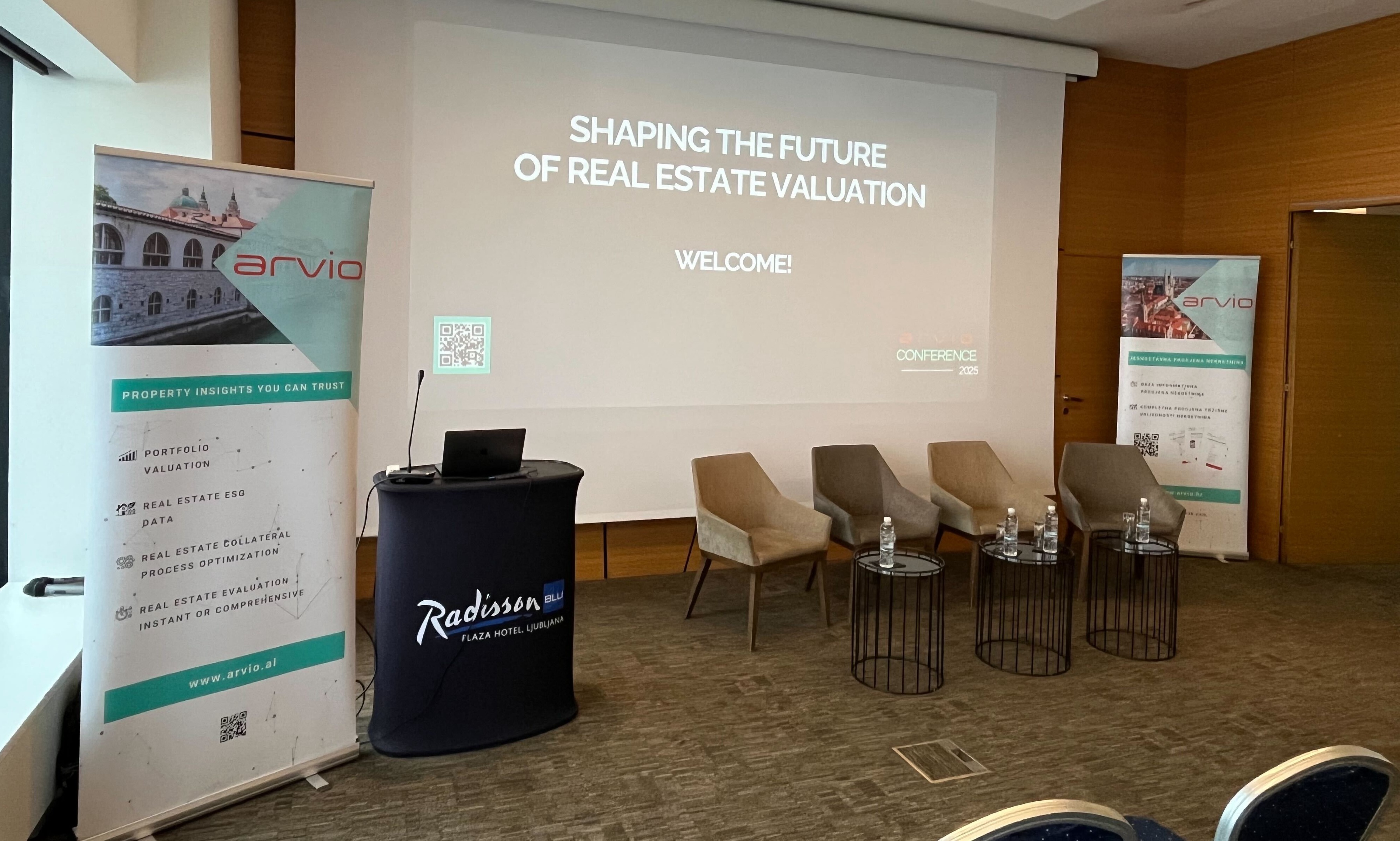
SPACE for the Financial World
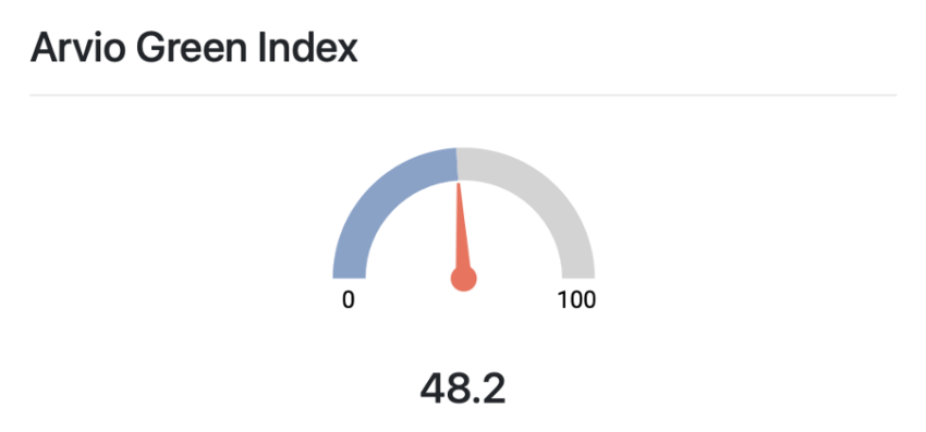
We will tackle the challenge of Innovating financial tools and technologies. As mentioned above the estimated value of the real estate will have to include environmental risks. Hence we will be developing Green Index to indicate the environmental risk of the neighborhood and apply the estimated impact to the estimated value.
Preberite tudi:
Nepremičninski trg se je začel ohlajati